Difference between revisions of "Morondava"
CampMaster (talk | contribs) |
CampMaster (talk | contribs) |
||
| Line 9: | Line 9: | ||
[[Kirindy Forest]] (40km northeast) and the [[Baobab Avenue]] (15km east). | [[Kirindy Forest]] (40km northeast) and the [[Baobab Avenue]] (15km east). | ||
| − | + | <!-- | |
<gallery> | <gallery> | ||
File:Morondava 0001.jpg | File:Morondava 0001.jpg | ||
Revision as of 16:20, 11 February 2010
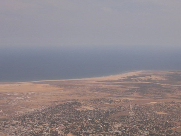
Morondava is a town and capital of the Menabe region in south west Madagascar. Once the centre of the Sakalava Kingdom and a popular stop-over for sailors, it is nowadays an area of rice and sugar cane farming. As the population has grown region the forests have also been gradually cut down, except the baobab trees which the locals has preserved for religious reasons. However, deforestation continues in large parts of the region including some of the remaining baobabs to make way for sugar cane plantations.
Morondava can be reached by a 700km drive from Antanarivo but since road conditions in the latter part of the journey between Miandrivazo and Malaimbandy are especially poor, the drive can take between 10 and 20 hours. Morondava is best reached by plane, with daily flights by Air Madagascar connecting with Antanarivo and Tulear.
Nearby attractions include Tsingy de Bemaraha (150 km north), Kirindy Forest (40km northeast) and the Baobab Avenue (15km east).
