Difference between revisions of "S 14°02.735' E048°41.424'"
From MadaCamp
CampMaster (talk | contribs) |
CampMaster (talk | contribs) |
||
| Line 10: | Line 10: | ||
|} | |} | ||
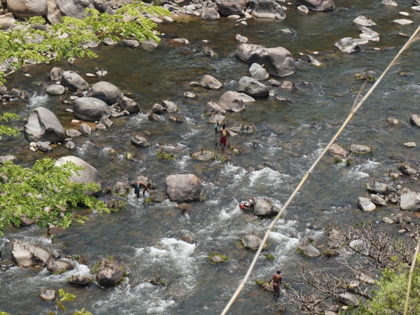
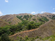
| − | The trail follows the [[Sambirano River]] and sneaks up and down several hills passing small fields and fruit trees. In the distance the landscape is dominated by mountains of the [[Tsaratanana Massif]]. On hot days the trail can be quite challenging. A jump into the river | + | The trail follows the [[Sambirano River]] and sneaks up and down several hills passing small fields and fruit trees. In the distance the landscape is dominated by mountains of the [[Tsaratanana Massif]]. On hot days the trail can be quite challenging. A jump into the river gives the needed cooldown, but ask the locals about the whereabouts of the crocodiles first! |
[[File:S 14 02.735 E048 41.424 010.jpg|600px]] | [[File:S 14 02.735 E048 41.424 010.jpg|600px]] | ||
Revision as of 05:39, 20 September 2017
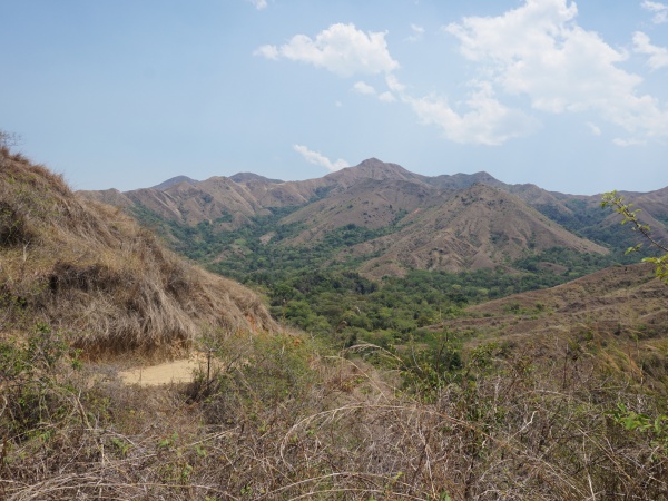
This page shows the landscape and trail between the villages Mevadoany and Beangona in the Ambanja district in the northwest of Madagascar.
| ||
|
|
|
The trail follows the Sambirano River and sneaks up and down several hills passing small fields and fruit trees. In the distance the landscape is dominated by mountains of the Tsaratanana Massif. On hot days the trail can be quite challenging. A jump into the river gives the needed cooldown, but ask the locals about the whereabouts of the crocodiles first!
Additional information
