Difference between revisions of "Antanamandririna"
From MadaCamp
CampMaster (talk | contribs) |
|||
| Line 1: | Line 1: | ||
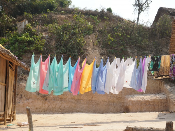
'''The village of Antanamandririna is located near the Sambirano River in the northwest of Madagascar.''' | '''The village of Antanamandririna is located near the Sambirano River in the northwest of Madagascar.''' | ||
| − | <googlemap version="0.9" lat="-13.803803" lon="48.486735" type="satellite" zoom="16" controls="large"> | + | {| class="imageTable" |
| + | |- | ||
| + | |colspan="3" | [[File:Antanamandririna_001.jpg|600px]] | ||
| + | |- | ||
| + | |[[File:Antanamandririna_005.jpg|196px]] | ||
| + | |align="center"|[[File:Antanamandririna_008.jpg|196px]] | ||
| + | |align="right"|[[File:Antanamandririna_006.jpg|196px]] | ||
| + | |- | ||
| + | |} | ||
| + | |||
| + | <googlemap version="0.9" lat="-13.803803" lon="48.486735" type="satellite" zoom="16" controls="large" style="width:100%;max-width:600px;"> | ||
-13.803105, 48.487025 | -13.803105, 48.487025 | ||
Antanamandririna | Antanamandririna | ||
| Line 10: | Line 20: | ||
Garmin: -13.802136, 48.486542 | Garmin: -13.802136, 48.486542 | ||
| − | View all [[Antanamandririna photos]] | + | |
| + | '''Additional information''' | ||
| + | * View all [[Antanamandririna photos]] | ||
| + | * [[Sambirano Trekking Tour]] | ||
Revision as of 05:35, 28 July 2017
The village of Antanamandririna is located near the Sambirano River in the northwest of Madagascar.

| ||

|

|

|
GPS coordinates
Google: 13°48'07.7"S 48°29'11.6"E
Garmin: -13.802136, 48.486542
Additional information