Difference between revisions of "Auberge Panoramique "Mahatsinjo""
(→Walkabout) |
|||
| Line 50: | Line 50: | ||
13.809861S 48.470723E | 13.809861S 48.470723E | ||
| − | + | == Walkabout to the White herons colony and back == | |
| − | == Walkabout == | ||
<googlemap version="0.9" lat="-13.80234" lon="48.472065" height="600" controls="large" zoom="15" style="width:100%;max-width:600px;"> | <googlemap version="0.9" lat="-13.80234" lon="48.472065" height="600" controls="large" zoom="15" style="width:100%;max-width:600px;"> | ||
Revision as of 06:46, 11 February 2019
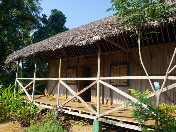
The eco-cottage Auberge Panoramique "Mahatsinjo" is located in the village of Andranomandevy near the Sambirano River in the northwest of Madagascar, about 30 kilometres upstream from Ambanja.
| ||
|
|
|
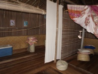
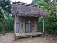
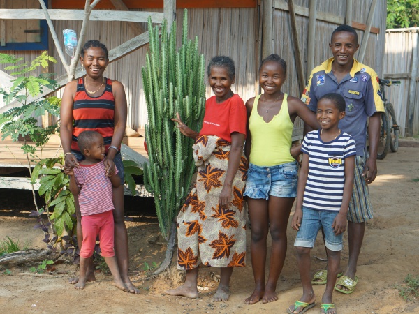
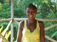
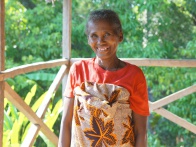
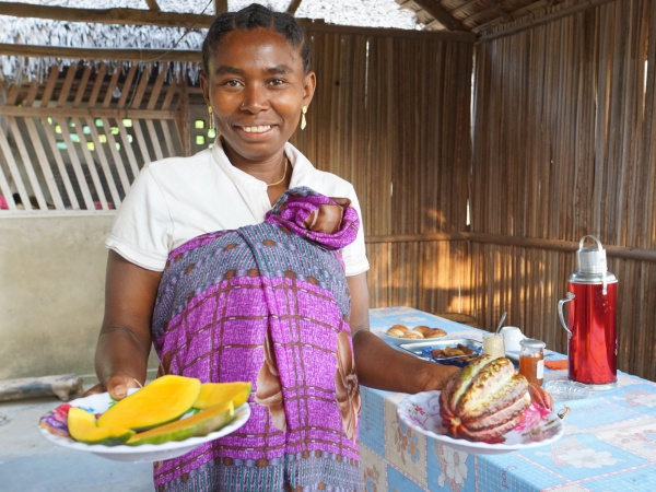
Auberge Panoramique "Mahatsinjo" is managed by the Toky Miray Association of women from the village and its profits are used for various community projects. Built with local materials and equipped with dry toilets, showers and solar energy, it can accommodate up to 16 people.
| ||
|
|
|
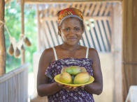
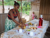
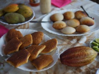
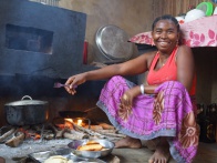
The team is very attentive and seems to be able to read the guest's mind, especially regarding the catering. As there is no fixed menue, almost everything is possible: Fish, meat or simply vegetarien, the women will surely prepare a delicious meal.
| ||
|
|
|
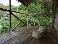
The name of the eco-cottage refers to its elevated location; Mahatsinjo means "to be able to look over from above or from afar" in Malagasy.
Auberge Panoramique "Mahatsinjo"
Andranomandevy
Ambanja
Madagascar
Tel: +261 (0)32 02 079 54 (Nathanaël Oudiette)
Geographic coordinates
13.809861S 48.470723E
Walkabout to the White herons colony and back
Tour data
Day: 22nd October 2018
Distance: 24.30 kilometres
Duration: 5 hours, 19 minutes
Average speed: 4.51 km/h
Minimum elevation: 27.13 metres
Maximum elevation: 60.35 metres
Total climb: 73.15 metres
Total descent: 79.25 metres
Additional information
- Un nouveau gîte pour le développement de l'agrotourisme dans le Nord Madagascar - La Tribune de Diego, 2013 (French)