Difference between revisions of "Antalavia"
CampMaster (talk | contribs) |
|||
| (9 intermediate revisions by 2 users not shown) | |||
| Line 33: | Line 33: | ||
<HTML5video type="youtube" width="400" height="300">R2AObIZuZCU</HTML5video> | <HTML5video type="youtube" width="400" height="300">R2AObIZuZCU</HTML5video> | ||
| − | < | + | <div style="max-width:600px;"> |
| − | -15.785251, 50.017432 | + | {{#display_map: |
| − | + | -15.785251, 50.017432~Antalavia~~; | |
| − | </ | + | |type=satellite |
| + | |service=google | ||
| + | |width=auto | ||
| + | |height=400 | ||
| + | |zoom=15 | ||
| + | |controls=pan, zoom, type, scale | ||
| + | |copycoords=yes | ||
| + | }} | ||
| + | </div> | ||
| + | |||
| + | The next village in the direction south and through the rainforest is [[Ratranavona]]. The next village direction north is [[Marofototra]]. | ||
'''GPS Coordinates'''<br> | '''GPS Coordinates'''<br> | ||
| Line 43: | Line 53: | ||
8m elevation | 8m elevation | ||
| − | + | == Photos == | |
| − | + | ||
| − | * [[ | + | View all [[Antalavia photos]] |
| + | |||
| + | == Additional information == | ||
| + | |||
| + | * 5 days trek from [[Maroantsetra Antalaha trek|Maroantsetra to Antalaha]] | ||
| + | * 7 days trek from [[Maroantsetra Antalaha trek around the Masoala peninsula|Maroantsetra to Antalaha around the Masoala peninsula]] - The village of Antalavia lays on the path sneaking around the Masoala Peninsula. | ||
Latest revision as of 14:40, 31 December 2020
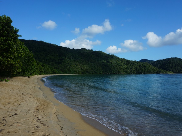
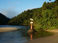
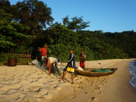
Antalavia or Antalaviana is located in a protected bay on the western side of Masoala Peninsula, directly at the Antongil Bay in the northeast of Madagascar. There is no real village, only a few basic fishermen huts and a very nice ecolodge along a wonderful sandy beach.
| ||
|
|
|
|
|
|
The mouth of the nearby Antalavia River is the natural border between the Tampolo Marine Reserve and Masoala National Park. The river flows through the beach into the sea. Paddling up the river leads to cascades with little, refreshing cool swimming pools.
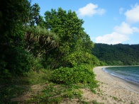
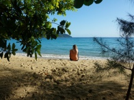
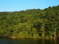
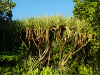
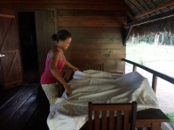
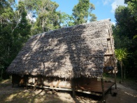
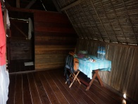
In October 2015, the newly built lodge was completely empty. The spacious bungalows and restaurant building are situated in a mix of pine forest and lush tropical vegetation. The price for accommodation starts at 150,000 Ariary (2015).
|
|
|
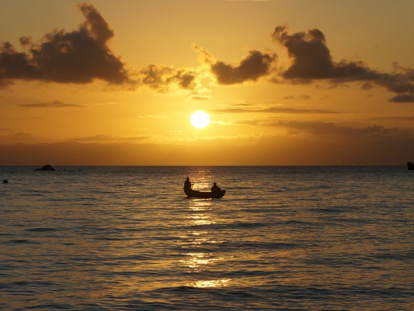
Whilst sitting on the beach in the early evening, one can enjoy a beautiful sunset to the monotonous sound of the waves. With a bit of luck, one can spot an Aye-aye in the night or at least hear its calling. Throughout the day, one can see brown lemurs, endemic birds, geckos and chameleons.
The next village in the direction south and through the rainforest is Ratranavona. The next village direction north is Marofototra.
GPS Coordinates
S 15°47.133'
E050°01.044'
8m elevation
Photos
View all Antalavia photos
Additional information
- 5 days trek from Maroantsetra to Antalaha
- 7 days trek from Maroantsetra to Antalaha around the Masoala peninsula - The village of Antalavia lays on the path sneaking around the Masoala Peninsula.
