Difference between revisions of "Navana"
| (49 intermediate revisions by 5 users not shown) | |||
| Line 1: | Line 1: | ||
| − | [[ | + | '''Navana is located near Maroantsetra in the Bay of Antongil (also called Helodrano Antongila) on the north east coast of Madagascar. Navana is a traditional [[Betsimisaraka]] village. Its inhabitants live from cultivating rice and vanilla as well as fishing.<!--Helodranon' Antongila (Bay of Antongila), more commonly called Antongil Bay-->''' |
| − | ....... | + | {| class="imageTable" |
| + | |- | ||
| + | |colspan="3" | [[File:Navana 055.jpg|600px]] | ||
| + | |- | ||
| + | |[[File:Navana 002.jpg|196px]] | ||
| + | |align="center"|[[File:Navana 003.jpg|196px]] | ||
| + | |align="right"|[[File:Navana 004.jpg|196px]] | ||
| + | |- | ||
| + | |[[File:Navana 005.jpg|196px]] | ||
| + | |align="center"|[[File:Navana 006.jpg|196px]] | ||
| + | |align="right"|[[File:Navana 007.jpg|196px]] | ||
| + | |} | ||
| − | + | Navana is the last accessible village by boat before heading into the nature in the direction of [[Antalaha]]. Starting in [[Maroantsetra]], it is also possible to reach Navana by foot or even bicycle. After a 90-minute pleasant pirogue ride along small streams and canals one arrives in [[Andranofotsy]]. From thereon a good foot path named <i>Route National 5</i> follows the coastline of the bay with nice views onto [[Nosy Mangabe]]. Thereafter the path diverts into the native forest, passing the [[Farankaraina Tropical Park]], home of the rare Aye-eye lemur. The walk from Andranofotsy to Navana takes about 2 hours and 15 minutes. | |
| − | |||
| − | |||
| − | < | ||
| − | + | {| class="imageTable" | |
| − | + | |- | |
| − | + | |colspan="3" | [[File:Navana 001.jpg|600px]] | |
| − | + | |- | |
| + | |[[File:Navana 011.jpg|196px]] | ||
| + | |align="center"|[[File:Navana 117.jpg|196px]] | ||
| + | |align="right"|[[File:Navana 024.jpg|196px]] | ||
| + | |- | ||
| + | |[[File:Navana 049.jpg|196px]] | ||
| + | |align="center"|[[File:Navana 115.jpg|196px]] | ||
| + | |align="right"|[[File:Navana 052.jpg|196px]] | ||
| + | |} | ||
| − | + | Navana is a very long stretched village with many well stocked shops, a market place, several basic hotels and a large school. The scenery around the village is dominated by rice fields and banana trees. At the sandy beach of Navana there are several granite boulders, similar to the beaches of the Seychelles. | |
| − | < | + | |
| − | < | + | <div style="max-width:600px;"> |
| − | + | {{#display_map: | |
| − | + | -15.410833, 49.867783~'''Navana'''~~; | |
| + | |type=satellite | ||
| + | |service=google | ||
| + | |width=auto | ||
| + | |height=400 | ||
| + | |zoom=16 | ||
| + | |controls=pan, zoom, type, scale | ||
| + | |copycoords=yes | ||
| + | |icon=https://www.madacamp.com/images/madagascar/Green_marker.png | ||
| + | }} | ||
| + | </div> | ||
| + | |||
| + | '''GPS Coordinates'''<br> | ||
| + | S 15°24.650'<br> | ||
| + | E049°52.067'<br> | ||
| + | 23m elevation | ||
| + | |||
| + | == Photos == | ||
| + | |||
| + | View all [[Navana photos]] | ||
| + | |||
| + | == Additional information == | ||
| + | |||
| + | * 5 days trek from [[Maroantsetra Antalaha trek|Maroantsetra to Antalaha]] | ||
Latest revision as of 15:17, 29 December 2020
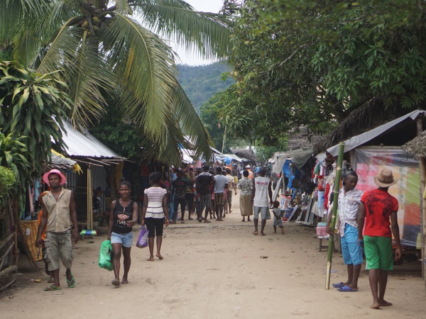
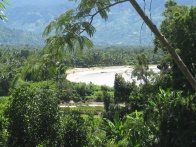
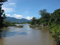
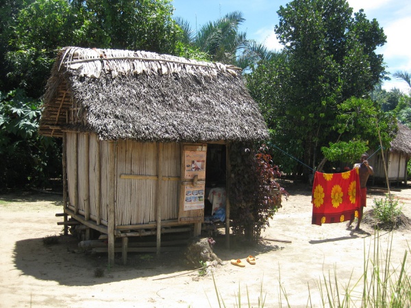
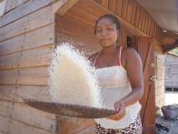
Navana is located near Maroantsetra in the Bay of Antongil (also called Helodrano Antongila) on the north east coast of Madagascar. Navana is a traditional Betsimisaraka village. Its inhabitants live from cultivating rice and vanilla as well as fishing.
| ||
|
|
|
|
|
|
Navana is the last accessible village by boat before heading into the nature in the direction of Antalaha. Starting in Maroantsetra, it is also possible to reach Navana by foot or even bicycle. After a 90-minute pleasant pirogue ride along small streams and canals one arrives in Andranofotsy. From thereon a good foot path named Route National 5 follows the coastline of the bay with nice views onto Nosy Mangabe. Thereafter the path diverts into the native forest, passing the Farankaraina Tropical Park, home of the rare Aye-eye lemur. The walk from Andranofotsy to Navana takes about 2 hours and 15 minutes.
| ||
|
|
|
|
|
|
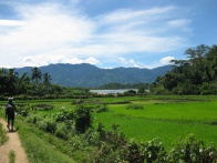
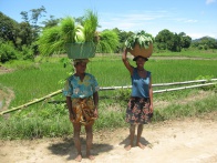
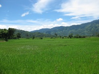
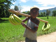
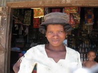
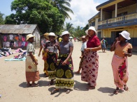
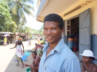
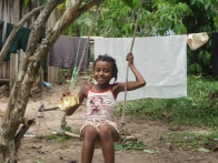
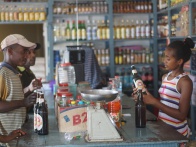
Navana is a very long stretched village with many well stocked shops, a market place, several basic hotels and a large school. The scenery around the village is dominated by rice fields and banana trees. At the sandy beach of Navana there are several granite boulders, similar to the beaches of the Seychelles.
GPS Coordinates
S 15°24.650'
E049°52.067'
23m elevation
Photos
View all Navana photos
Additional information
- 5 days trek from Maroantsetra to Antalaha