Difference between revisions of "Tent spot in a valley at Sambirano River"
From MadaCamp
| (6 intermediate revisions by the same user not shown) | |||
| Line 1: | Line 1: | ||
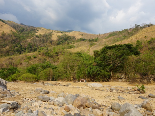
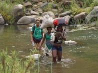
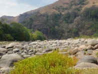
| + | '''This tent spot is located in a valley about 23,111 steps from [[Beangona]], following the [[Sambirano River]] upstream. The trail leads along the river with the occassional river crossing and over various mountains.''' | ||
| + | {| class="imageTable" | ||
| + | |- | ||
| + | |colspan="3" | [[File:Tent_spot_in_a_valley_at_Sambirano_River_004.jpg|600px]] | ||
| + | |- | ||
| + | |[[File:Tent_spot_in_a_valley_at_Sambirano_River_001.jpg|196px]] | ||
| + | |align="center"|[[File:Tent_spot_in_a_valley_at_Sambirano_River_002.jpg|196px]] | ||
| + | |align="right"|[[File:Tent_spot_in_a_valley_at_Sambirano_River_008.jpg|196px]] | ||
| + | |} | ||
| − | + | After setting up the campsite, the guides prepared rice with freshly grilled chicken for dinner. | |
| − | |||
| − | |||
| + | For breakfast, there was rice with white beans in tomato sauce. | ||
| − | < | + | [[File:Tent_spot_in_a_valley_at_Sambirano_River_029.jpg|600px]] |
| − | -14.053556, 48.756043 | + | |
| − | tent spot in a valley at Sambirano River | + | <div style="max-width:600px;"> |
| − | </ | + | {{#display_map: |
| + | -14.053556, 48.756043~'''tent spot in a valley at Sambirano River'''~~; | ||
| + | |type=satellite | ||
| + | |service=google | ||
| + | |width=auto | ||
| + | |height=400 | ||
| + | |zoom=15 | ||
| + | |controls=pan, zoom, type, scale | ||
| + | |copycoords=yes | ||
| + | |icon=https://www.madacamp.com/images/madagascar/Green_marker.png | ||
| + | }} | ||
| + | </div> | ||
'''GPS coordinates'''<br> | '''GPS coordinates'''<br> | ||
| Line 15: | Line 34: | ||
Garmin: -14.053556, 48.756043 | Garmin: -14.053556, 48.756043 | ||
| + | == Photos == | ||
| + | |||
| + | View all [[tent spot in a valley at Sambirano River photos]] | ||
| + | |||
| + | == Additional information == | ||
| − | |||
| − | |||
* [[Sambirano Trekking Tour]] | * [[Sambirano Trekking Tour]] | ||
Latest revision as of 08:07, 23 December 2020
This tent spot is located in a valley about 23,111 steps from Beangona, following the Sambirano River upstream. The trail leads along the river with the occassional river crossing and over various mountains.

| ||

|

|

|
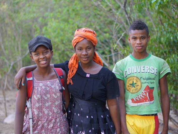
After setting up the campsite, the guides prepared rice with freshly grilled chicken for dinner.
For breakfast, there was rice with white beans in tomato sauce.
Loading map...
GPS coordinates
Google: 14°03'12.8"S 48°45'21.8"E
Garmin: -14.053556, 48.756043
Photos
View all tent spot in a valley at Sambirano River photos
