Difference between revisions of "Namantoana"
From MadaCamp
CampMaster (talk | contribs) |
|||
| (One intermediate revision by the same user not shown) | |||
| Line 23: | Line 23: | ||
| − | <googlemap version="0.9" lat="-15.937045" lon="50.124168" zoom="15" controls="large"> | + | <googlemap version="0.9" lat="-15.937045" lon="50.124168" zoom="15" controls="large" style="width:100%;max-width:600px;"> |
-15.936642, 50.118647 | -15.936642, 50.118647 | ||
Namantoana | Namantoana | ||
</googlemap> | </googlemap> | ||
| + | |||
| + | The next village direction south is [[Fampotabe]]. The next village direction north is [[Ratranavona]]. | ||
'''GPS coordinates'''<br> | '''GPS coordinates'''<br> | ||
Revision as of 11:02, 20 February 2017

| ||

|

|

|
| ||
|
|
|
|
|
|
The next village direction south is Fampotabe. The next village direction north is Ratranavona.
GPS coordinates
S 15°56.197'
E050°07.116'
12m elevation
Additional information
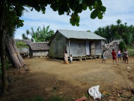
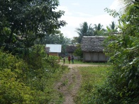
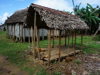
- View more Namantoana photos
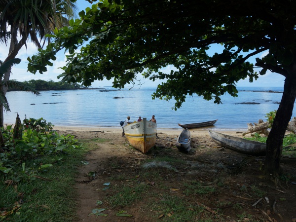
- Maroantsetra Antalaha trek around the Masoala peninsula - The village of Namantoana lies on the path sneaking around the Masoala Peninsula.