Difference between revisions of "Antanamazava"
From MadaCamp
| Line 21: | Line 21: | ||
Google: 13°52'08.9"S 48°31'12.9"E<br> | Google: 13°52'08.9"S 48°31'12.9"E<br> | ||
Garmin: -13.869145, 48.520247 | Garmin: -13.869145, 48.520247 | ||
| − | |||
'''Additional information''' | '''Additional information''' | ||
* View all [[Antanamazava photos]] | * View all [[Antanamazava photos]] | ||
* [[Sambirano Trekking Tour]] | * [[Sambirano Trekking Tour]] | ||
| + | * [[Bemaneviky to Marotolana by bike|Bemaneviky to Marotolana]] by bike | ||
Revision as of 05:52, 11 March 2019
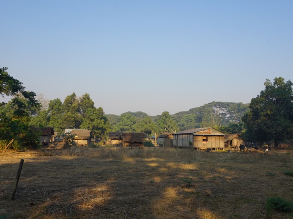
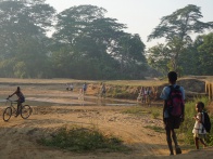
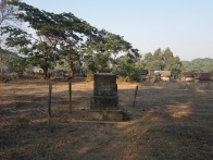
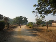
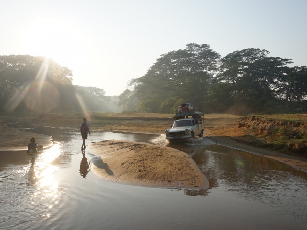
Antanamazava is a small village located near the Sambirano River in the northwest of Madagascar.
| ||
|
|
|
| ||
GPS coordinates
Google: 13°52'08.9"S 48°31'12.9"E
Garmin: -13.869145, 48.520247
Additional information
- View all Antanamazava photos
- Sambirano Trekking Tour
- Bemaneviky to Marotolana by bike